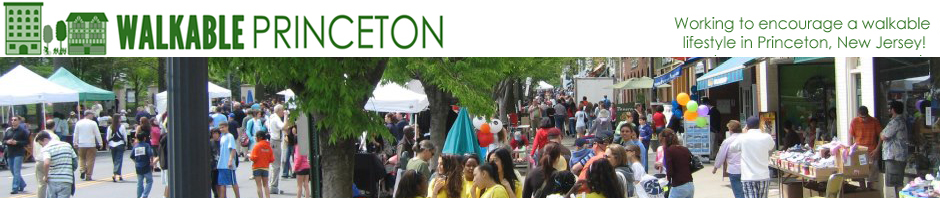
Intersection of Nassau Street and Witherspoon Street, the heart of historic downtown Princeton and inspiration for ‘Walkable Princeton’ logo, as seen from Google Street view. (Click to expand.)
In the last few days, a massive update of Google Street View in Princeton has seen miles of new imagery of local streets hit the web.
If you haven’t used Street View before, it’s well worth checking out. Search for any location in Google, click on the map, and then click and drag the ‘pegman’ (found on the left hand side above the zoom function) onto any site on the map. The map changes to a photo of the site, and you can move along the street and the photo updates as you go.

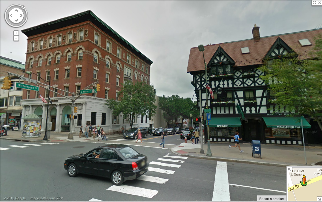
Westminster Choir College, Princeton, seen from Google Street View. (Click to expand.)
You can use Street View at any of thousands of locations where Google have sent their roving camera car to take images. Ever wondered what it’s like to drive down Pacific Rt. 1 through Big Sur? You can do it with Street View. Want to check out the beach in Antarctica? That’s in Street View too! However, until recently, one place was notably missing from Street View– Princeton! Only a few local roads were covered. The absence of Street View was good news for rival Bing Streetside, which had pretty good coverage of Princeton. But this latest Street View update has added most of the town to the database, including sites that are off the downtown ‘tourist trail’.
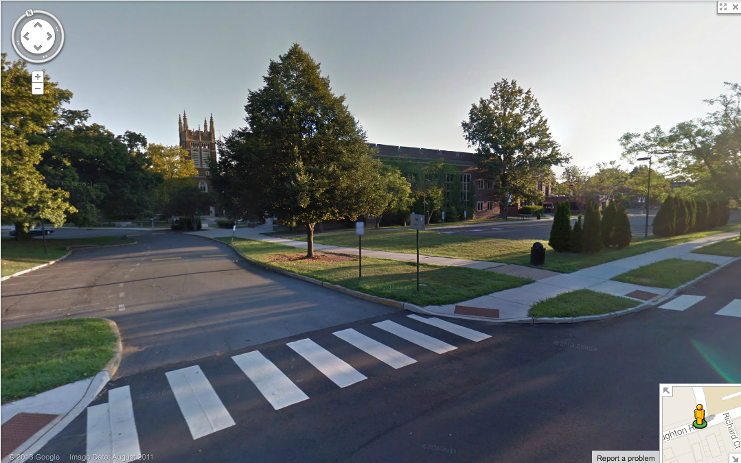
Princeton High School, seen from Google Street View. (Click to expand)
The images date mostly from summer 2011. It’s fun to spot the changes that have happened already since then. Alexander Street is still open and the houses that Princeton University demolished to build the Arts and Transit center are still standing. The old Princeton hospital on Witherspoon Street is open for business. And many of us will have favorite trees that were blown down in Sandy that are still standing in the Google imagery.
Google Street View is a great resource for walkers, joggers and cyclists. If you are ever wondering what the street layout is when attempting a journey on foot or on two wheels for the first time, it can be very useful to flick up the images of the local area in Street View. That makes it easy to plan alternatives if the street appears too dangerous, and to locate trail entrances that you might miss otherwise.
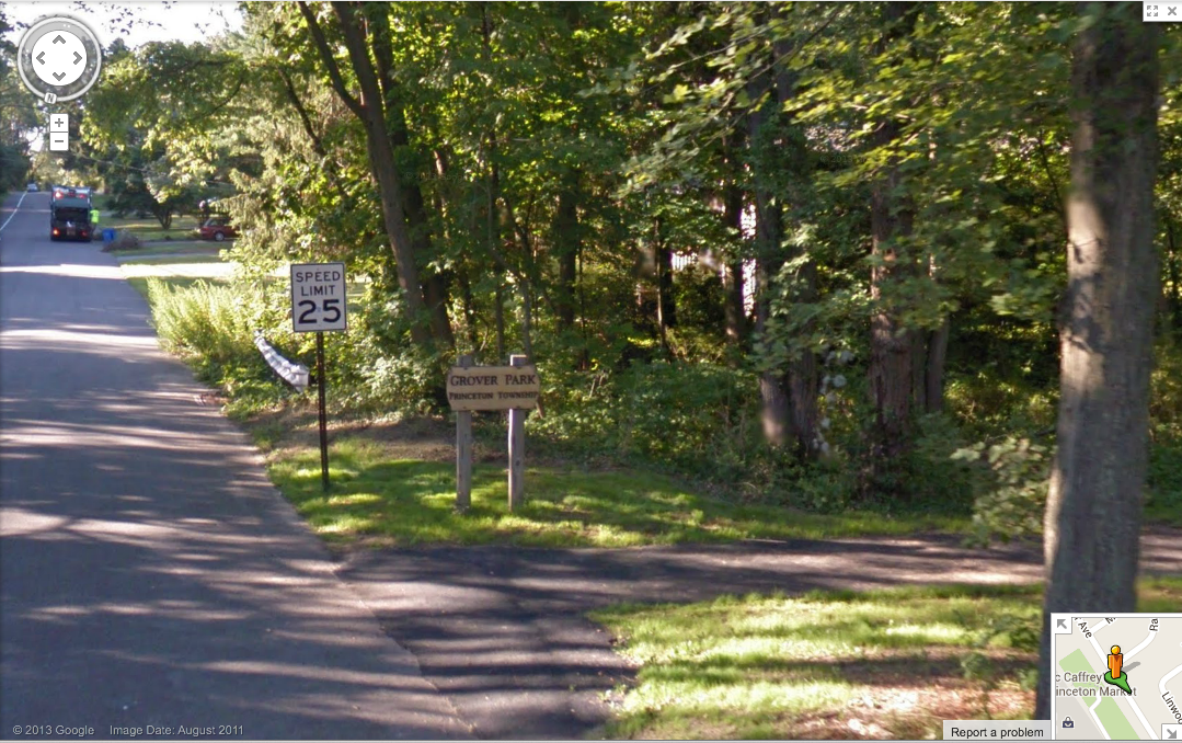
Entrance to Grover Park from Grover Avenue, as seen in Google Street View. (Click to expand.)
How does your home look in Google Street View? Do you find this technology useful or invasive? What places in Princeton have changed since the summer of 2011? Leave a comment below.
